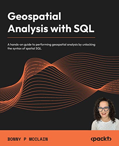
Geospatial Analysis with SQL
This is the code repository for Geospatial Analysis with SQL, published by Packt.
A hands-on guide to performing geospatial analysis by unlocking the syntax of spatial SQL
What is this book about?
Geospatial analysis is used in almost every industry to answer location-related questions. Combined with the power of SQL, which is becoming a popular choice for developers and analysts worldwide, this technology will help you to solve real-world spatial problems easily. This book shows you how to detect and quantify patterns in datasets through data exploration, data visualization, data engineering, and the application of analysis and spatial techniques.
You'll begin by exploring the fundamentals of geospatial analysis and understand its importance along with vector and raster models, among other things. You'll then look at the framework for geospatial analysis using SQL and progress through the chapters to create a spatial database and analyze it. In the next part, you'll advance to learning about using SQL functions and building SQL queries.
By the end of this book, you’ll be able to make the most of open source libraries and frameworks such as PostGIS and QGIS for analyzing spatial information.
This book covers the following exciting features:
- Understand geospatial fundamentals as a basis for learning spatial SQL
- Generate point, line, and polygon data with SQL
- Create geometry objects with WKT, WKB, and GeoJSON
- Use spatial data types to abstract and encapsulate spatial structures
- Work with open source GIS combined with plug-ins
- Visualize spatial data and expand QGIS functionality with Postgres
- Apply location data to leverage spatial analytics
- Perform single-layer and multiple-layer spatial analyses
If you feel this book is for you, get your copy today!

Instructions and Navigations
All of the code is organized into folders.
The code will look like the following:
SELECT row_number() over () AS _uid_,* FROM (SELECT * FROM getprotecteda('10160475')) AS _subq_1_Following is what you need for this book: This book is for anyone looking to leverage their SQL knowledge to perform geospatial analysis. GIS analysts, data analysts, and data scientists with a basic understanding of both geospatial analysis and SQL will find this book useful.
With the following software and hardware list you can run all code files present in the book (Chapter 1-8).
Software and Hardware List
| Chapter | Software required | OS required |
|---|---|---|
| 1-8 | QGIS | Any OS |
| 1-8 | pgAdmin4 | Any OS |
| 1-8 | PostgreSQL | Any OS |
Related products
Get to Know the Author
Bonny P McClain applies advanced data analytics, including data engineering and geo-enrichment, to discussions of poverty, race, and gender. Racism, class exploitation, sexism, nationalism, and heterosexism all contribute to social inequality. Bonny redefines how we measure these attributes and how we can more accurately identify amenable interventions. Spatial data hosts a variety of physical and cultural features that reveal distribution patterns and help analysts and data professionals understand the underlying drivers of these patterns. Bonny is a popular conference keynote and workshop leader. Her professional goals include exploring large datasets and curating empathetic answers to larger questions, making a big world seem smaller.
Download a free PDF
If you have already purchased a print or Kindle version of this book, you can get a DRM-free PDF version at no cost.
Simply click on the link to claim your free PDF.
