 roya0045
commented
2 years ago
roya0045
commented
2 years ago I've having auth error with using the default Microsoft service either when trying to download an asset (adding the asset also cause an error but unsure if they have the same root cause). Is it due to lack of auth for this service or for another reason?
Error in downloading file, Download failed: Error transferring https://sentinel2l2a01.blob.core.windows.net/sentinel2-l2/20/T/LT/2022/08/16/S2A_MSIL2A_20220816T151701_N0400_R025_T20TLT_20220817T074117.SAFE/GRANULE/L2A_T20TLT_A037345_20220816T151703/IMG_DATA/R10m/T20TLT_20220816T151701_B08_10m.tif?st=2022-08-16T17%3A14%3A22Z&se=2022-08-17T17%3A59%3A22Z&sp=rl&sv=2021-06-08&sr=c&skoid=c85c15d6-d1ae-42d4-af60-e2ca0f81359b&sktid=72f988bf-86f1-41af-91ab-2d7cd011db47&skt=2022-08-17T14%3A23%3A48Z&ske=2022-08-24T14%3A23%3A48Z&sks=b&skv=2021-06-08&sig=8a8HDj5G2y%2BTQLatzIf3Acz4HkwKc30UwIzJDqLi5qg%3D?st=2022-08-16T17%3A14%3A22Z&se=2022-08-17T17%3A59%3A22Z&sp=rl&sv=2021-06-08&sr=c&skoid=c85c15d6-d1ae-42d4-af60-e2ca0f81359b&sktid=72f988bf-86f1-41af-91ab-2d7cd011db47&skt=2022-08-17T14%3A23%3A48Z&ske=2022-08-24T14%3A23%3A48Z&sks=b&skv=2021-06-08&sig=8a8HDj5G2y%2BTQLatzIf3Acz4HkwKc30UwIzJDqLi5qg%3D - server replied: Server failed to authenticate the request. Make sure the value of Authorization header is formed correctly including the signature.
Used in QGIS 3.27 in windows 10.
 Samweli
 remicres
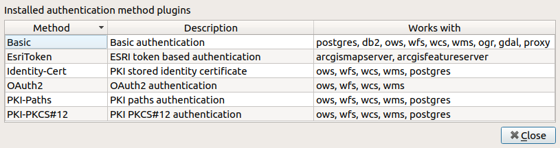
 hrodmn
The QGIS application provides an authentication framework for different data providers. We need to integrate the plugin so that it works with all types of authentication that are supported by QGIS authentication system. The UI for this is already in place and it was intended to work from the last release plugin version.
See https://github.com/stac-utils/qgis-stac-plugin/issues/124 and https://github.com/stac-utils/qgis-stac-plugin/issues/206