-
I am using L.Minimap with the latest 1.2 stable Leaflet release. I have set ``toggleDisplay: true``. However the toggle is not shown on the minimap. I checked with Google Developer tools and I can see…
-
We could change our upload workflow so that when you drag in an image, it's stored in the browser, and we can save distortions, and the later sync it up to the online app when you get an internet conn…
-
Hey,
there are many not implemented typescript declarations, so I made this issue to document the progress and the discuessions.
@ryan-morris @hoetmaaiers @lukekroon @elliots currently your are …
-
People often want to annotate a location with some text, for example if it's a pollution site. We should make something that opens a form you can add text to, and has a configurable function to submit…
-
I have a `shiny` app that uses `leaflet`, and I am using 'addEasyButton' to add a button that allows the user to restore the bounds that I set programmatically.
Unfortunately, there doesn't appea…
-
I've tried using Browserify:
```
var Vue = require("vue");
window.Vue = Vue;
Vue.use(require('vue-resource'));
Vue.use(require('./vue.file-upload'));
Vue.use(require('./vue.pretty-bytes'));
```
and…
-
@ceoaliongroo choose color
-
-
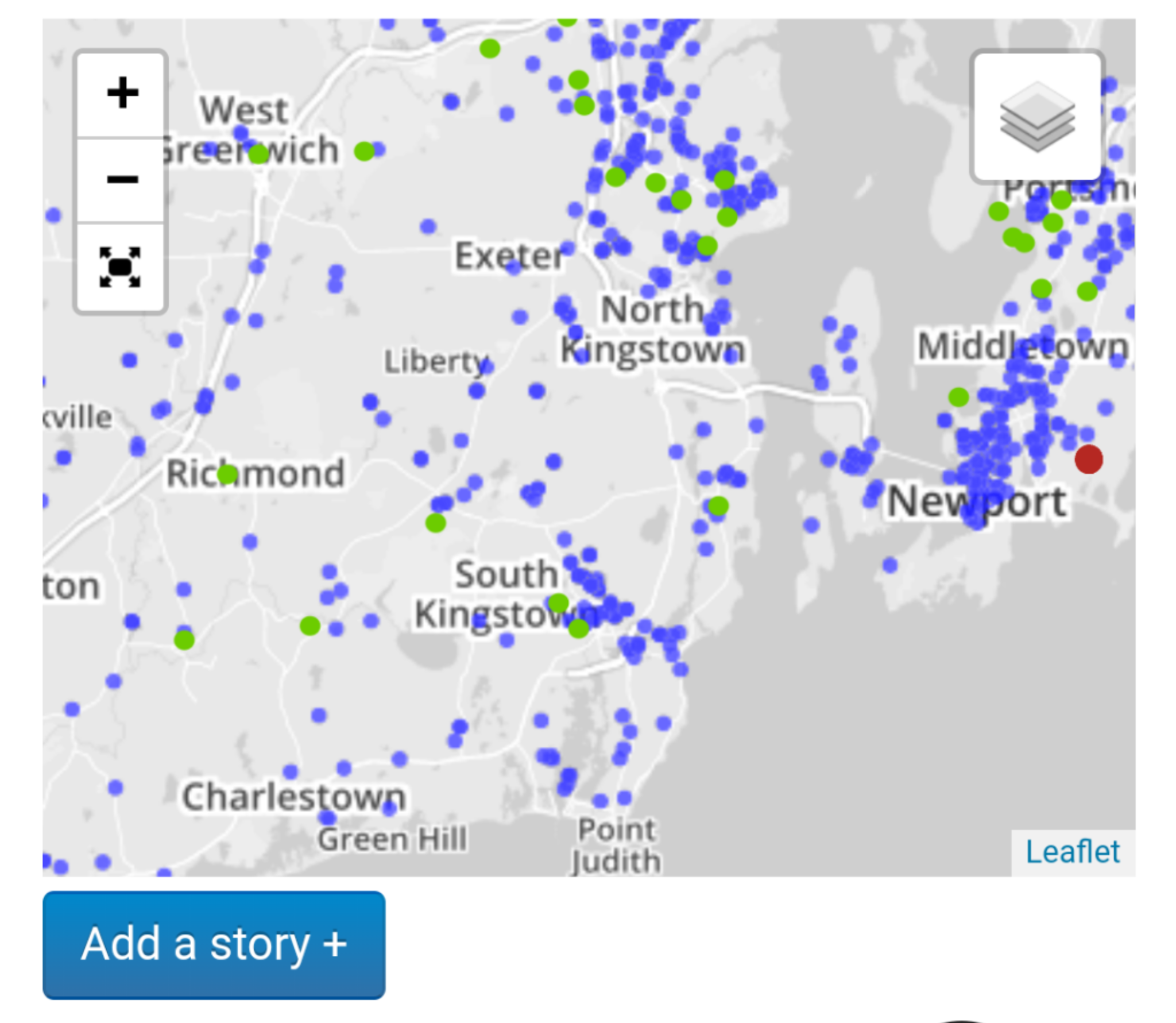
Some sites are no longer in operation, so we should somehow show the…
-
If we're proposing a markup-based map widget, it would be nice to have examples of existing tools that use an element and attribute API for embedding and customizing maps.
There is of course the co…