-
unofficialpi.org does not have working HTTPS, and the only way of verifying the image is by using the md5 located on the same server, also over plaintext. This effectively renders the md5 hash useless…
-
https://www.openstreetmap.org/#map=19/37.35309/-79.18415

-
### Description
Hi,
While a third-party application can currently _read_ the user home location, it can not currently _set_ the home location. Setting the home location is hidden away in the setti…
-
Health Infrastructure Investments define inputs required for assuring appropriate physical infrastructure, Equipment, Transport and ICT for the delivery and management of health and related services
…
-

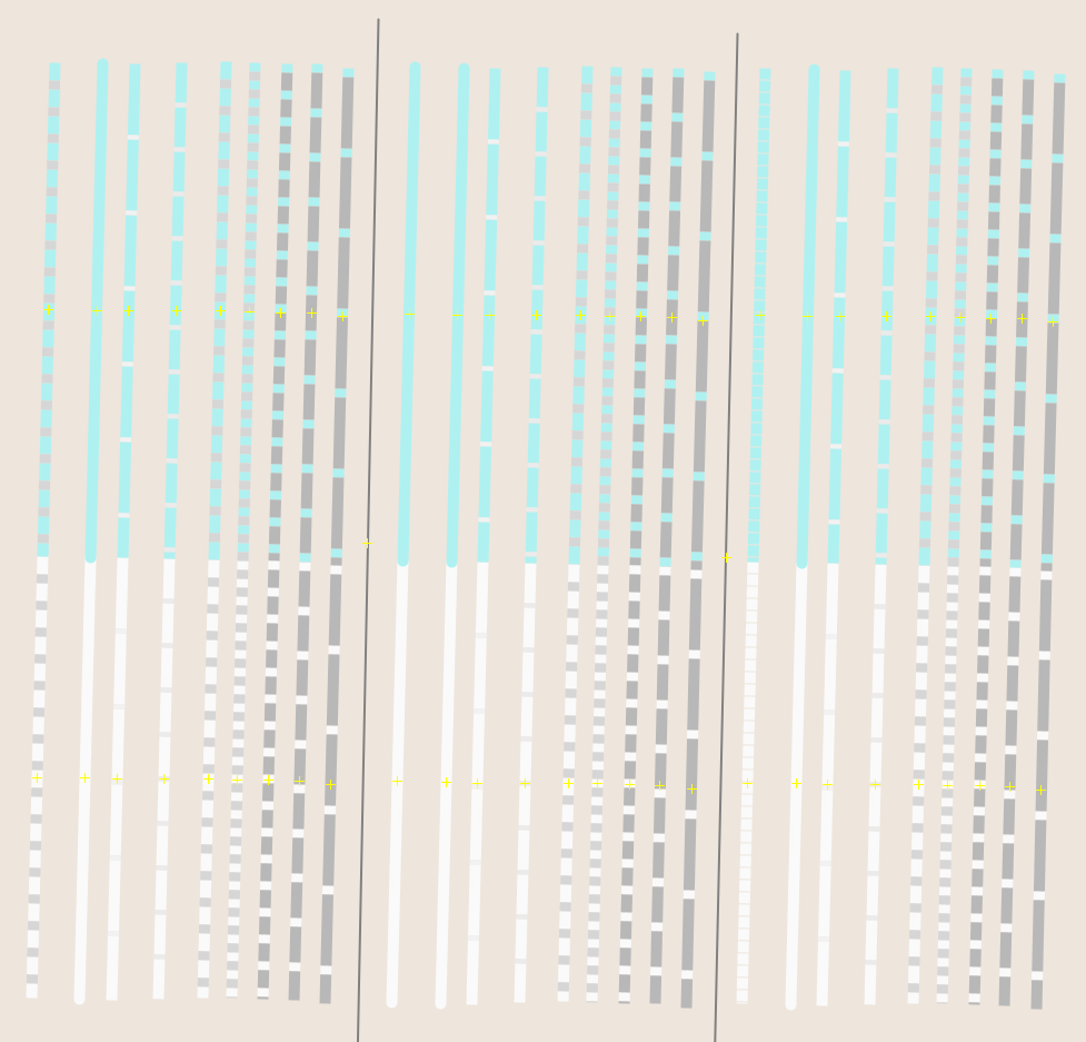
all with `highway=residential`
top with `maxspeed=30`
from left to right:
first…
-
https://github.com/CommonCoreOntology/CommonCoreOntologies/blob/master/GeospatialOntology.ttl
See also: https://github.com/oborel/obo-relations/issues/254
cc @mark-jensen
-
Etsy recently shared how they use Apple SceneKit to show heights data: https://www.etsy.com/codeascraft/the-ar-measuring-box-etsys-answer-to-big-tape-measure
I share this as an inspiration on how t…
-
There has been a lot of fight and reversal / back-reversal on the type-classification of several tracks or cycleways (depending on usage / user and resp. view or understanding of the infrastructure, o…
-
### Background
As part of on-going work to improve the quality of OpenStreetMap data, we use internal Mapbox data validation jobs that search OSM data for errors for detecting issues related to roa…
-
# 🐞 routing report
### Routing engine
- [x] OsmAnd's in-app offline routing
### Routing Profile
Bike, balanced route.
### Start and end points
Route from: "Turmallee 9, 5012…