 Lingtax
commented
4 years ago
Lingtax
commented
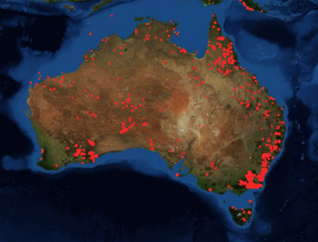
4 years ago It's been pointed out that there's no national fire extent map, with the best being a google overlay drawing in the CAP data from the state emergency services. Might we be able to build a national map from this data until all the states converge on data release?
 njtierney

https://earthdata.nasa.gov/earth-observation-data/near-real-time/firms/active-fire-data