 ofa001
commented
2 years ago
ofa001
commented
2 years ago Yes @AndyHoggANU I have identified locations in Gibraltar, Red Sea, Persian Gulf, as well that will need reverting back to at leas the older topography that was used before by the ACCESS-OM2-025 set up, stilll wont resolve the Med getting too salty i long runs that is down to freshwater fluxes incoming into the basin from CABLE, but will be the best we can do.
Still looking at other shallow coasts that aren't confined basins. Will send on plots later this afternoon.
 aidanheerdegen
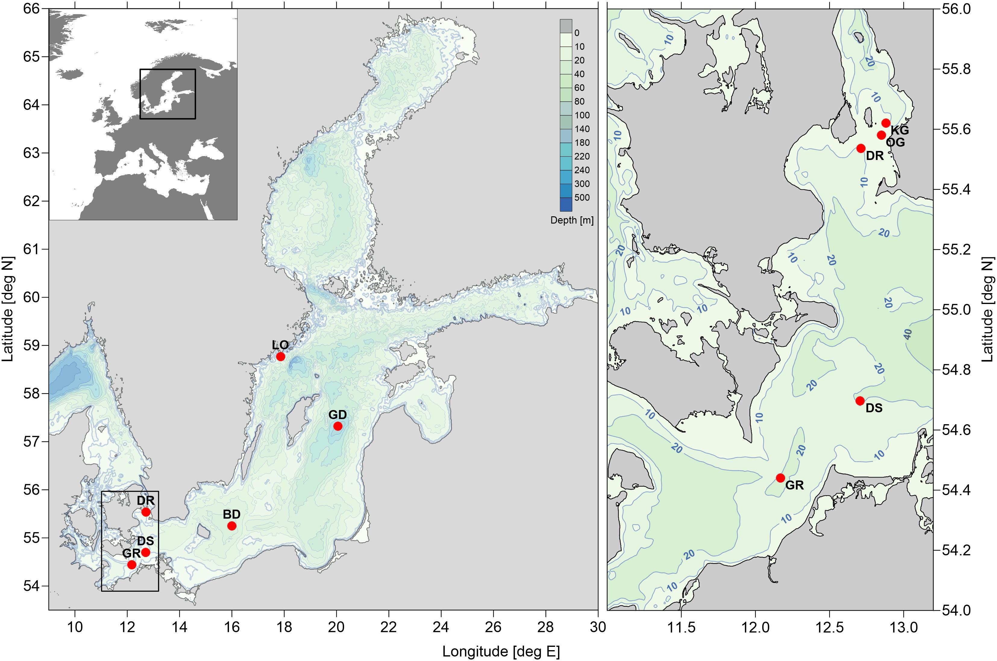
 MartinDix
 aekiss
 If we zoom in the colour scale by 20x we see (click image for a bigger view)


 ...and this is the corresponding plot for
  ...and this is the corresponding plot for


 This was noted

 AndyHoggANU
 after edit:
 change (red is deeper in new version):
 old OCCAM topography:
 difference from OCCAM topography (red is deeper in new version):

 after edit:
 old OCCAM topog:
 difference from old OCCAM topog before editing:
 difference from old OCCAM topog after editing:

 after edit:
 change (red is deeper in new version):
 old OCCAM topog:
 difference from old OCCAM topog before editing:
 difference from old OCCAM topog after editing:

 after edit:
 change (red is deeper in new version):
 old OCCAM topog:
 difference from old OCCAM topog before editing:
 difference from old OCCAM topog after editing:

 after edit:
 change (red is deeper in new version):


 .
.

 russfiedler
 after:
 difference from OCCAM (blue is shallower than OCCAM):

 after:
 difference from OCCAM (blue is shallower than OCCAM):

 after:
 difference from OCCAM (blue is shallower than OCCAM):


 The new topography improves the Med, Red, Black and White seas and is not much worse in the Persian Gulf.
The Baltic is better in magnitude but the opposite sign. It is odd that this is so different. Perhaps the JRA55 runoff is different in the two versions.
The new topography improves the Med, Red, Black and White seas and is not much worse in the Persian Gulf.
The Baltic is better in magnitude but the opposite sign. It is odd that this is so different. Perhaps the JRA55 runoff is different in the two versions. This has somewhat less SSS bias in the Baltic than our latest topography, but is much worse in the Baltic straits and all the other seas.

 PaulSpence
 adele-morrison

At some point should we consider creating new topography for 1 and 0.25deg which is more consistent with the 0.1 deg topo?
The minimum depth is probably too large at 1deg and 025deg, now that we have finer surface resolution with KDS50: 45.11m (10 levels) in ACCESS-OM2, 40.36m (9 levels) in ACCESS-OM2-025, and 10.43m (7 levels) in ACCESS-OM2-01
The land masks are inconsistent, particularly near the tripoles:
There are also gaps in the depth distribution at 1 and 0.25 deg: https://github.com/COSIMA/access-om2/issues/141 and other problems at 1deg: https://github.com/mom-ocean/MOM5/issues/172 and non-advective points at 0.25 deg: https://github.com/COSIMA/access-om2/issues/210