 dill
commented
9 years ago
dill
commented
9 years ago Closed dill closed 9 years ago
dill
commented
9 years ago  erex
commented
9 years ago
erex
commented
9 years ago do you want to show any maps resulting from such analyses, such as what is in the MEE paper or the URI work?
dill
commented
9 years ago @jjrob, do you have some particularly impressive map-type graphics? Something that covers the East coast would be great...
On 10/05/2015 05:47, erex wrote:
do you want to show any maps resulting from such analyses, such as what is in the MEE paper or the URI work?
— Reply to this email directly or view it on GitHub https://github.com/DistanceDevelopment/spatial-workshops/issues/14#issuecomment-100615175.
dill
commented
9 years ago @erex, I've included this with what I've sent to Allison

erex
commented
9 years ago cute
 jjrob
commented
9 years ago
jjrob
commented
9 years ago Here are some random images that might be useful. Sorry they're in an PowerPoint. If you see an image you like and want a JPG or PNG, let me know and I can produce one (if it is too tedious to do yourself). If these don't suit but you can describe something more specific, I can find it.
Also apologies for @dill-incompatible color scales...
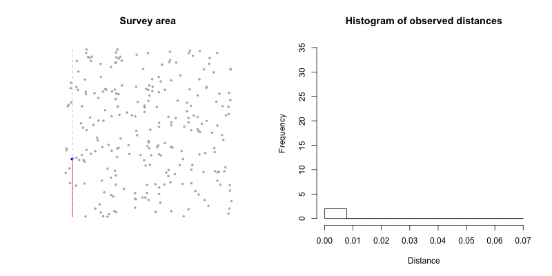
Can I use your animated transect / histogram GIF in my presentations?
dill
commented
9 years ago Thanks for this. I think the below is good -- which species is it for?

You are totally welcome to use the animation! Source is here, if you want to modify.
jjrob
commented
9 years ago Here is a high quality PNG of that. Coincidentally it does not have as couple of the labels, but that is fine with me. It is for humpback whales. I reviewed the predictions with Jooke Robbins, who wrote her PhD on humpback distributions in the Gulf of Maine, and she expressed satisfaction with it. So, while it is not a perfect model, it is a "safe" example in that the person who is arguably the most knowledgeable about their distribution there approved of it.. Not that this matters for marketing graphics on the DEL website...

dill
commented
9 years ago I think Laura and Allison have enough now, so I'll close this issue.


I forgot that the other thing Allison asked for this photos to put on the DEL page. I will look around for something appropriate.