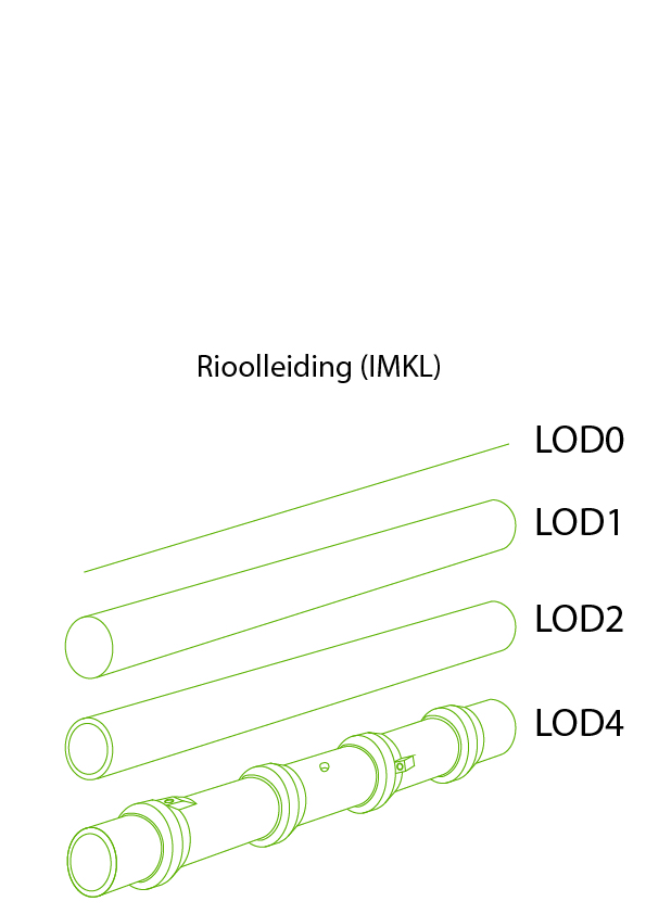
Level Of Detail of sewer geometrie

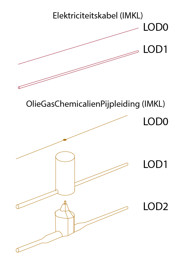
Level Of Detail of cables and pipes

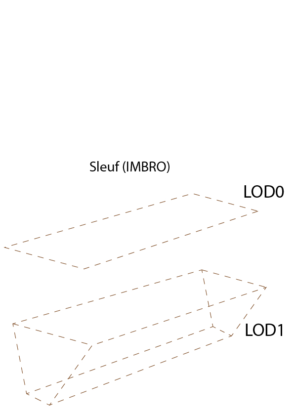
Level Of Detail of sewer trench

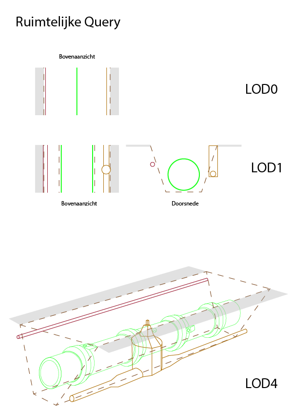
Level Of Detail by combining geometries

Open RolfJonker opened 4 months ago
Level Of Detail of sewer geometrie

Level Of Detail of cables and pipes

Level Of Detail of sewer trench

Level Of Detail by combining geometries

sewer engineerI want to be able to model 3D sewer information in BIM and analyze whether this creates conflicts with the existing and future environment in GIS and BIM so that I can resolve these conflicts in the engineering phase and the contractor encounters no conflicts on-site.