 ivanhanigan
commented
1 year ago
ivanhanigan
commented
1 year ago @cassandrayuen wrote: "Hi Ivan,
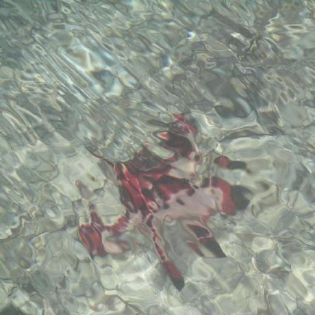
I think the SA1 extrapolation method won’t work out too well. See Sydney region below (Red overlay is V1.2 grid, green polygons are SA1 polygons). Quite a lot of SA1s that are well-populated don’t overlap with the grid.

I will default to our second method, a focal max of sorts – considering the few pixels that are missing, will buffer on the missing pixels, take the max flag of pixels within the buffer. Let me know if you object or have other ideas.
I agree that the focal_statistics method is a good approach
 cassandrayuen
We can think of two options.
terra::focal_statisticswith extrapolate (max would mean all the 1's or 0's