 Florimondable
commented
3 years ago
Florimondable
commented
3 years ago link to #480
Open Phyks opened 3 years ago
Florimondable
commented
3 years ago link to #480
 Phyks
commented
3 years ago
Phyks
commented
3 years ago The more I think about this, the more I'm inclined to remove completely the bicycle routes, and provide the Waymarked Trails layer.
It really seems to be meant as a dynamic feature at high zoom levels. From my own experience in France, I would completely remove them from Z12/Z13.
It seems perfectly fine for both cities with dense and structured bicycle network https://www.cyclosm.org/#map=13/48.5906/7.7442/cyclosm (current labelling is unusable + network is already obvious from the cycle infra) as well as in the countryside (https://www.cyclosm.org/#map=12/48.6359/4.9226/cyclosm).
My only concern is how this would work with cycle junctions. @hiddewie as you worked on this feature and are living (I think) in an area where usage might differ, would it make sense to have cycle junctions rendered but not the bicycle routes themselves at zoom 12/13 and beyond? https://www.cyclosm.org/#map=13/52.3449/6.5533/cyclosm
 rkflx
commented
3 years ago
rkflx
commented
3 years ago The more I think about this, the more I'm inclined to remove completely the bicycle routes, and provide the Waymarked Trails layer. It really seems to be meant as a dynamic feature at high zoom levels.
It sounds like you've already made up your mind, so it's probably pointless to argue against removal from low zoom levels. I'm trying anyway, since cycle routes are one of the main reasons users are attracted to CyclOSM (at least IMO, unless you have hard data to prove the contrary?):
I guess we can agree that on high zoom levels routes are a perfect way to get inspired to plan a multi-day trip, i.e. a more touristic use case. Still, after zooming in to see more details, users would now experience routes disappearing, which would be a bit odd, wouldn't it?
However, my main point is that cycle routes can be incredibly useful on a local scale and for low zoom levels too:
Waymarked Trails as a replacement are unsuitable: They are probably fine for an initial draft of a long distance route, but for everyday use of the map they are visually distracting, hide much of the underlying map, are cumbersome to add and remove etc. You'd lose all advantages of the integration of features at rendering time: No overlapping labels, coordinated color scheme, well-chosen opacity of lines without having to make labels transparent too, cannot get out of sync due to different database update schedules, and more. In the specific case of CyclOSM, Waymarked Trails would hide cycling infrastructure, road types, road labels and road conditions as well.
Granted, the visualization of cycle routes is not always perfect yet. But instead of removing routes altogether, why not keep them and try to implement improvements instead? Some ideas:
Phyks
commented
3 years ago Hi @rkflx, thanks for the detailed answer. My mind is not completely made up, and I'm very happy to hear feedbacks.
First, I think we are not talking about the same thing for high and low zoom levels. OSM zoom levels go from 0 (world map) to 20 (very local area). Therefore, for me low zoom level are zoom <= 12 (regional views) and high zoom levels are zoom from about 12 and above (city / neighborhood views).
I guess we can agree that on high zoom levels routes are a perfect way to get inspired to plan a multi-day trip, i.e. a more touristic use case. Still, after zooming in to see more details, users would now experience routes disappearing, which would be a bit odd, wouldn't it?
Definitely :+1:, I'm anyway planning to keep them at (my) low zoom levels, https://www.cyclosm.org/#map=10/45.2836/-0.0989/cyclosm for instance. It is an issue at (my) high zoom levels where:
Often there is a good reason why a cycling route is going a particular way instead using another road nearby (note this is a low-level zoom routing choice, i.e. cycle routes only on high zoom levels would not help at that level of detail!). While equal in visualization on the map
This is, sadly, not my experience here in France. Hence, why I ask for feedbacks from different parts of the world or different experiences.
Some salient examples I came across lately being:
Note my examples are very local here (same region), but this is something I encountered widely around France. This is not so much about this specific area, but rather about France having many "cycle routes" which are actually designed for people willing to ride "Tour de France"-like sport cycling. This is not something which is currently possible to infer from OSM tagging, see #283
Waymarked Trails as a replacement are unsuitable
I definitely hear your argument here. Brouter-web has the ability to change the opacity of the waymarked trails layer, which is a nice and must-have option. This might not be the case of other softwares :/
"Bicycle routes at high zoom hide the road infrastructure": This is not only a problem at high zoom levels, but at low zooms too, and is mainly caused by too much opacity and too much color saturation.
At https://www.cyclosm.org/#map=11/43.3716/-1.3705/cyclosm, I'm mainly looking at planning my multi-day trip, drawing general directions. Therefore, I would not mind too much about the underlying cycle infrastructure. Once my main stops are set, I'd zoom in (probably using BRouter as well) and draw the detail of my route. At https://www.cyclosm.org/#map=15/43.3470/-1.4313/cyclosm, I want to get a feel of whether the "6" route, which offers no bicycle infra, is using a primary / secondary / tertiary, and how much car traffic I should expect.
By increasing the width a lot, we could afford to decrease opacity and saturation. See OpenCycleMap as an example.
Indeed, but this is also putting a lot (too much, in my opinion) emphasis on cycle routes taking secondary roads. See:

I can imagine as a newcomer and not putting too much thoughts into this thinking: "wow, this is blue, so it is bicycle friendly, this is large, so it's a really nice cycle route", while the message is actually the opposite.
Not sure if it would look weird, but we could try rendering routes below the road network (or rather as an additional casing), to create a wide "glow" effect (still somewhat transparent though, to not obstruct nearby features like sidewalks too much).
I really like this idea! I'll try to come up with a PoC, this could actually be a very nice option to keep cycle routes as a hint and find some middle ground between relying purely on Waymarked Trails and keeping as it currently is.
Florimondable
commented
3 years ago I agree with @rkflx cycle route is also very usefull at high zoom, and I'm very against removing it (I prefer switching to another map to check the highway tag of a road than switching to waymarked trail).
We must try to improve the current cycle route rendering (link to #480 for path/track cycle route issue) Ideas :
 hiddewie
commented
3 years ago
hiddewie
commented
3 years ago @hiddewie as you worked on this feature and are living (I think) in an area where usage might differ, would it make sense to have cycle junctions rendered but not the bicycle routes themselves at zoom 12/13 and beyond?
Having the junctions rendered without the routes would be pretty strange, and I think maybe useless.
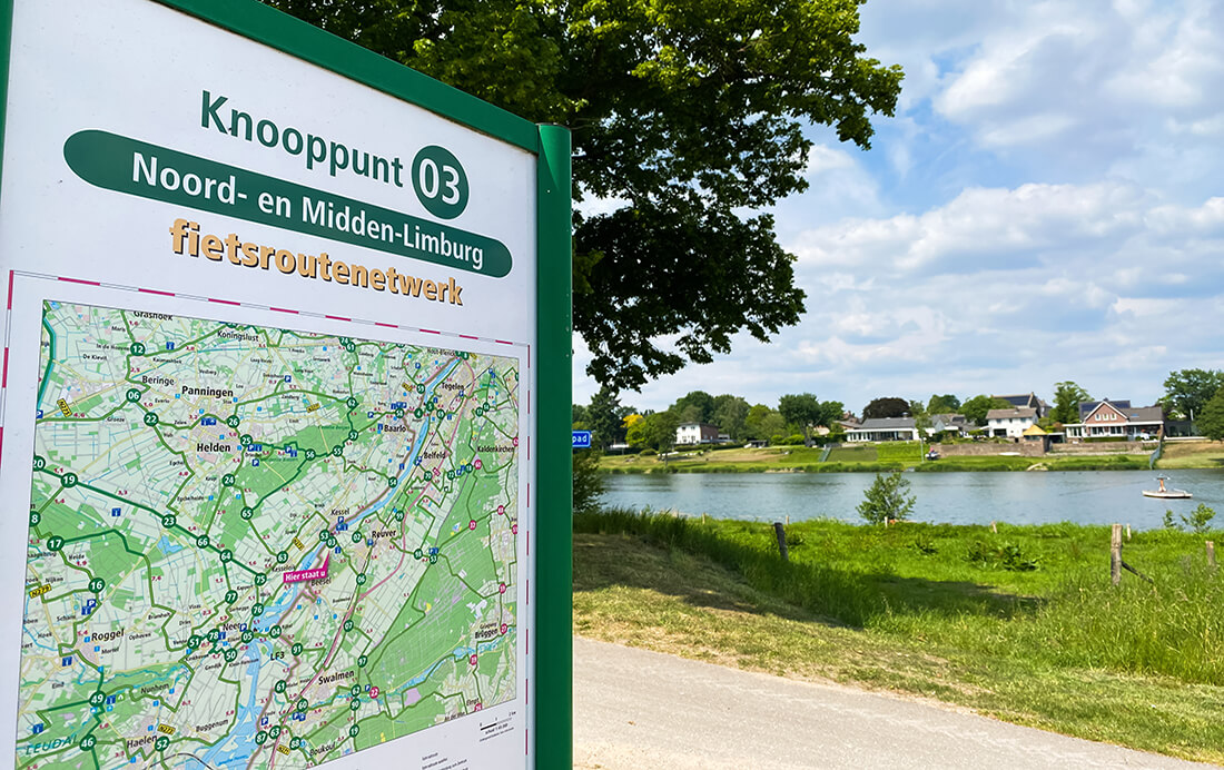
The junctions are connected together by (many) local routes, and if you consult a map to find the way to a junction, it is very useful to see the routes connecting the junctions together. On the junctions are maps like https://images.fietsnetwerk.nl/img/news/de-beste-manier-om-een-fietsroute-te-plannen-langs-knooppunten/fietsroutenetwerkknooppunten.jpg, and on the routes between the junctions are many (small) signs like http://www.fietsknooppunten.eu/wp-content/uploads/2011/01/bewegwijzering-200x200.jpg
In The Netherlands, if there is a cycling route going over a road, this is always a road you can perfectly cycle on (even with children). Local routes, regional routes and national routes. Because there is a cycling route on the road, in The Netherlands it does not really matter what type of road it is.
I have no experience with MTB routes, they are different and I don't know how people consult MTB routes on a (digital) map. MTB routes are shorter and usually local (in a forest, or in a small region). If I can, I filter MTB routes from my maps.
A small overview of the zoom levels and how I would personally read the map for cycling routes:
Even for zoom 14-15 it is useful to see which roads have a cycling route, which I might follow.
Also, for me personally the routes are more important than the roads with cycling lanes, because I want to follow the route and not the cycling lanes. https://www.cyclosm.org/#map=13/51.8640/5.7783/cyclosm 
What road is "D10"? https://www.cyclosm.org/#map=15/43.3889/-1.2789/cyclosm
Looks like a small road with little traffic, due to the presence of the bicycle route:
It is actually a secondary https://www.openstreetmap.org/way/74170035!!!