 dieterdreist
commented
6 years ago
dieterdreist
commented
6 years ago sent from a phone
On 24. Mar 2018, at 12:09, Tomasz Wójcik notifications@github.com wrote:
Currently, this (landuse=grass):
actually this isn’t the correct application of landuse=grass according to the wiki: https://wiki.openstreetmap.org/wiki/Tag:landuse%3Dgrass
 kocio-pl
 Tomasz-W
 imagico
 Adamant36
 meased
 matthijsmelissen
 jeisenbe
 jragusa


 z15
z15
 z16
z16
 Notice how in the first and second pictures it can be difficult to distinguish grassland (with pattern) from meadow (no pattern) where heath is overlapping due to tagging mistakes. Currently heath has no pattern so it is not obvious when an area of heath overlaps an area of natural=grassland or landuse=meadow or landuse=grass.
  z16
z16


 z16
z16

 z16
z16

 z16
z16


 vincentvd1


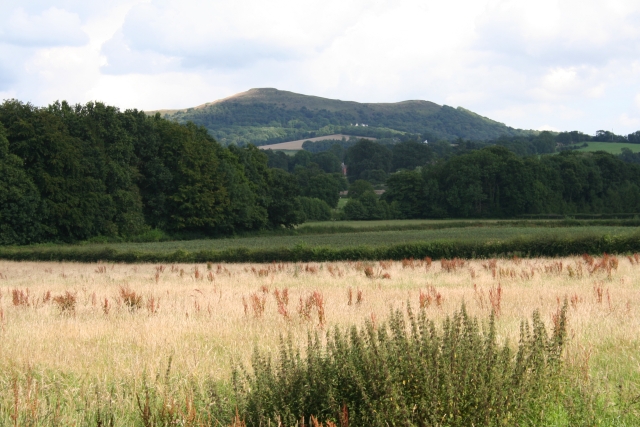
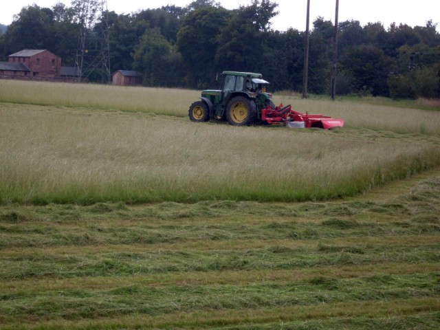
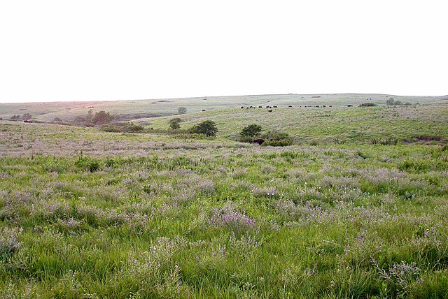
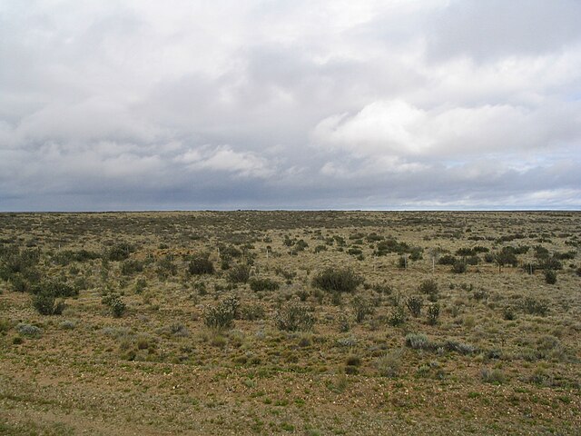
Currently, this (landuse=grass):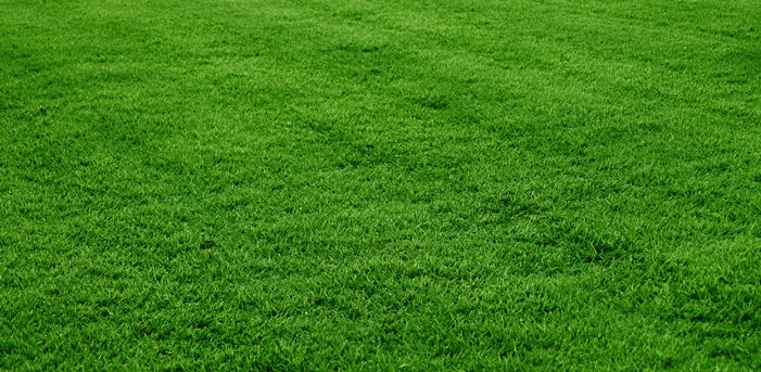
is rendered in the same way as this (landuse=meadow):
or this (natural=grassland):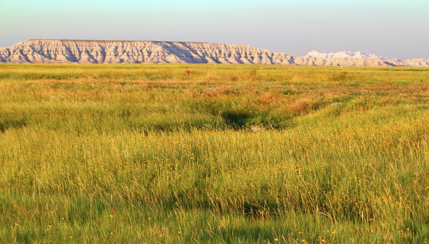
When grass can reach max. 15-20 cm, meadows and grasslands can reach more than 50 cm. I think they are different levels of landcover, so they should be distinguished on map. For example - you can walk or ride a bike through grass without problem, but is more problematic in a meadow/ grassland, so rendering this features in the same way may be confusing.
My proposition for a start is to use wetland pattern - change it's colour to black, turn 90 degree, and set opacity to 15/25%.
Photoshop mock-up: