 jnfrye
commented
6 years ago
jnfrye
commented
6 years ago Here's one idea that BONAP uses, "floristic tension zones": http://www.bonap.org/TensionZoneMaps/Tension.html
Open jnfrye opened 6 years ago
jnfrye
commented
6 years ago Here's one idea that BONAP uses, "floristic tension zones": http://www.bonap.org/TensionZoneMaps/Tension.html
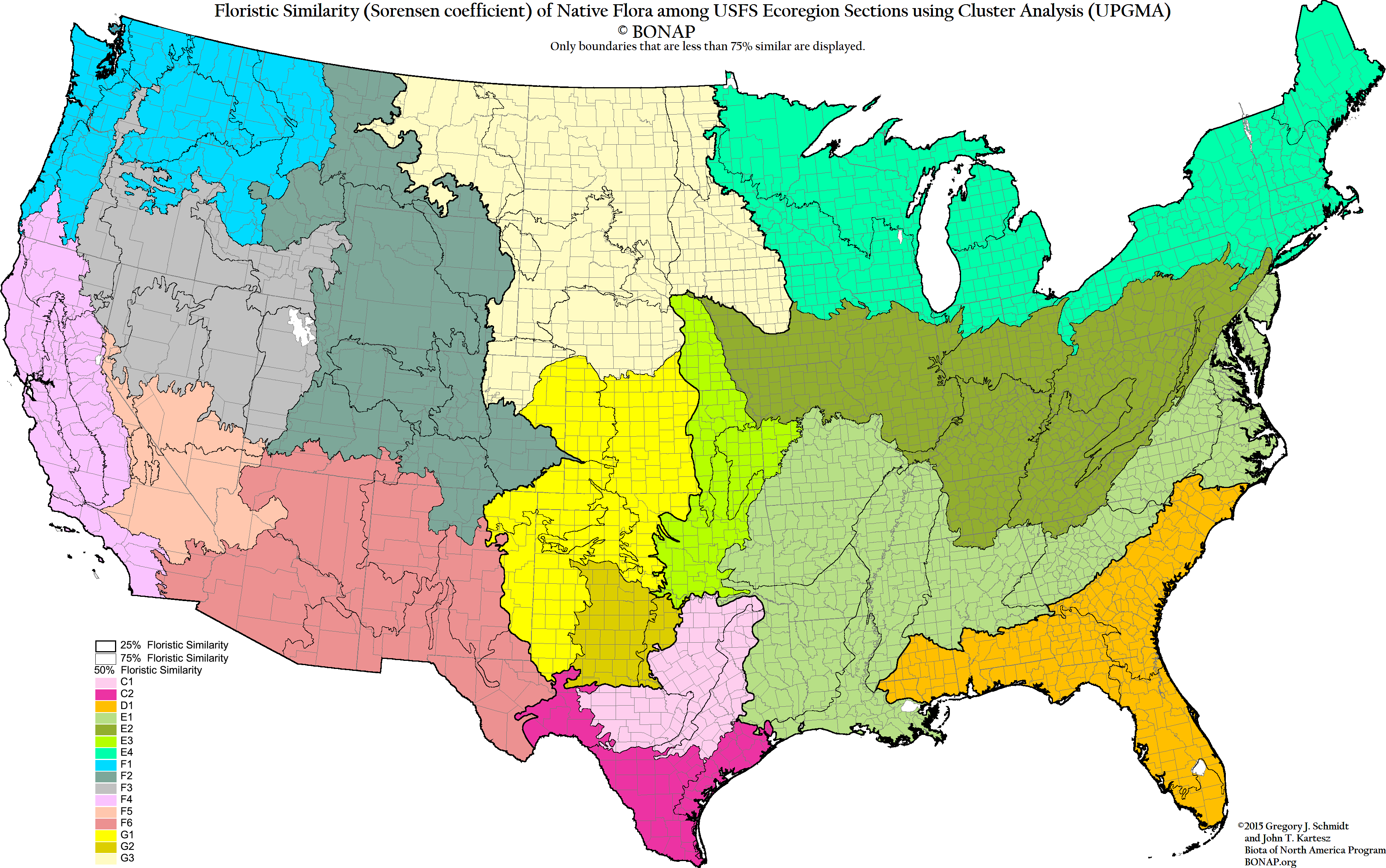
jnfrye
commented
6 years ago Here's another idea from BONAP: State Flora Similarity: http://bonap.org/2015_SpecialtyMaps/State%20Flora%20Similarity%202015/State%20Flora%20Similarity%202015.html
jnfrye
commented
6 years ago Here are a lot of maps from BONAP: http://bonap.org/2015_SpecialtyMaps/Density%20Gradient%202015/Density%20Gradient%202015.html
In particular,
jnfrye
commented
6 years ago Another idea, climate similarity zones: http://www.bonap.org/Climate%20Maps/ClimateMaps.html
jnfrye
commented
6 years ago This was my original idea: https://www.epa.gov/eco-research/ecoregions-north-america
I think the region currently used is a bit too big. I want to restrict the region this book covers to western Oregon (from the coast east to Deschutes River) and southwest Washington (using topography, the Deschutes river, and the Columbia river drainage basin). I want to create a polygon of geographic coordinates that defines the area used, and have the software use this.