nasaharvest / crop-mask

End-to-end workflow for generating high resolution cropland maps
Apache License 2.0
95 stars 28 forks source link

Cropland: Hawaii 2020 #215

Open ivanzvonkov opened 1 year ago

ivanzvonkov commented 1 year ago

Start year: 2020 Start month: February?

ivanzvonkov commented 
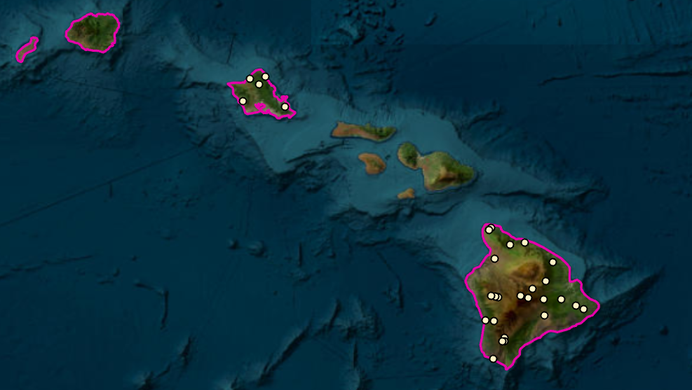
1 year ago

The initial map is low quality and has large swaths of missing data

ivanzvonkov commented 1 year ago

Missing data issue under review here: https://github.com/nasaharvest/openmapflow/pull/109 Once reviewed and released, it can be used to create a map with no missing values

ivanzvonkov commented 1 year ago

Missing bands in Hawaii bbox

image
ivanzvonkov commented 1 year ago

Using some validation data for training, skipping ERA5, and addressing missing values: https://code.earthengine.google.com/0363a45326fa32a300e812752529e66a

Metrics: https://github.com/nasaharvest/crop-mask/blob/964f3b7b348b57bece054bd08f91eb80c4f3a5a7/data/models.json#L36

ivanzvonkov commented 1 year ago
hannah-rae commented 1 year ago

Website with the layers for the Hawaii Ag Land Use Baseline 2020 survey shapefile and other layers (e.g. vegetation, wetlands) referenced in above comment: https://planning.hawaii.gov/gis/download-gis-data-expanded/

hannah-rae commented 1 year ago

More geospatial datasets: https://geoportal.hawaii.gov/

ivanzvonkov commented 1 year ago

Will sample from here: https://geoportal.hawaii.gov/datasets/HiStateGIS::agricultural-land-use-2020-update/explore?location=19.470374%2C-155.848330%2C13.30

ivanzvonkov commented 1 year ago

247 completed 4000 new cropland labels

ivanzvonkov commented 1 year ago

Next step merge new model and make map

ivanzvonkov commented 1 year ago

255

ivanzvonkov commented 1 year ago

Corrective labeling experiments: https://github.com/nasaharvest/crop-mask/pull/257

Main conclusions were:

There is a decent cropland map so I propose we table this for the time being

ivanzvonkov commented 1 year ago

TODO add link to best Earth Engine map

Block until new data is collected

ivanzvonkov commented 1 year ago

https://code.earthengine.google.com/018bda8e2e5fec17f26e8402501fd6aa

ivanzvonkov commented 1 year ago

Additional land cover product: https://www.usgs.gov/special-topics/lcmap/collection-1-hawaii-science-products

hannah-rae commented 1 year ago

Related to LCMAP product in the above comment, here are the reference data points used to validate that product: https://www.sciencebase.gov/catalog/item/60be76b1d34e86b938911f69

ivanzvonkov commented 1 year ago

@ivanzvonkov will add masks (protected planet, and Ag baselines map) @MsPixels could you help out with doing a quality assessment on data/datasets/Hawaii_CEO_2020.csv (with special attention to labels in Maui county)?

MsPixels commented 1 year ago

Alrightyyyy!

MsPixels commented 1 year ago

Quality Assessment Approach: I sampled 10% of the Hawaii_CEO_2020 data. Specifically:

  1. 7% [16 samples] for Maui county as shown here

image

  1. and then 3% [29 samples] for the rest of Hawaii here

image

MsPixels commented 1 year ago

Dataset Assessment report @ivanzvonkov

ivanzvonkov commented 1 year ago

Thank you @MsPixels !

@hannah-rae here's the crop mask with masked out protected areas and overwritten values from Hawaii Ag use: https://code.earthengine.google.com/7af75040373335239c93059dd7a189ac

MsPixels commented 1 year ago

You're welcome!

hannah-rae commented 1 year ago

Next step: cross-check map with ground truth data points collected by students