 AlisterH
commented
4 years ago
AlisterH
commented
4 years ago - Start QGIS
- Load some data into the map so you are looking at a map in a normal projected coordinate system.
- Load a quick map services layer.
- The coordinate system selector in the bottom right will still say the project is in the same coordinate system. But the Coordinate display is now displaying different coordinates (I'm not sure exactly what system they are in).
- If you save the project and look at the project file in a text editor you'll see the map canvas has had its destination SRS set to EPSG:3857.
- If you want to change the map canvas destination SRS back to match the original coordinate system you need to change the project CRS to something else, and then change it back to the original CRS. When you do this it appears that the quick map services layer still works correctly.
- I'm not sure if the map canvas destination SRS actually needs to be changed when adding a quick map services layer. Does it?
- Assuming it does, wouldn't it be far less confusing to either change it back after loading the layer, or change the project CRS instead of just changing the map canvas destination SRS?
 simgislab
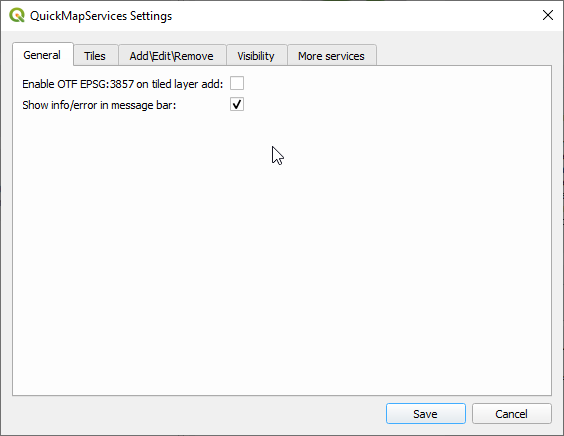
 514ckw4r3
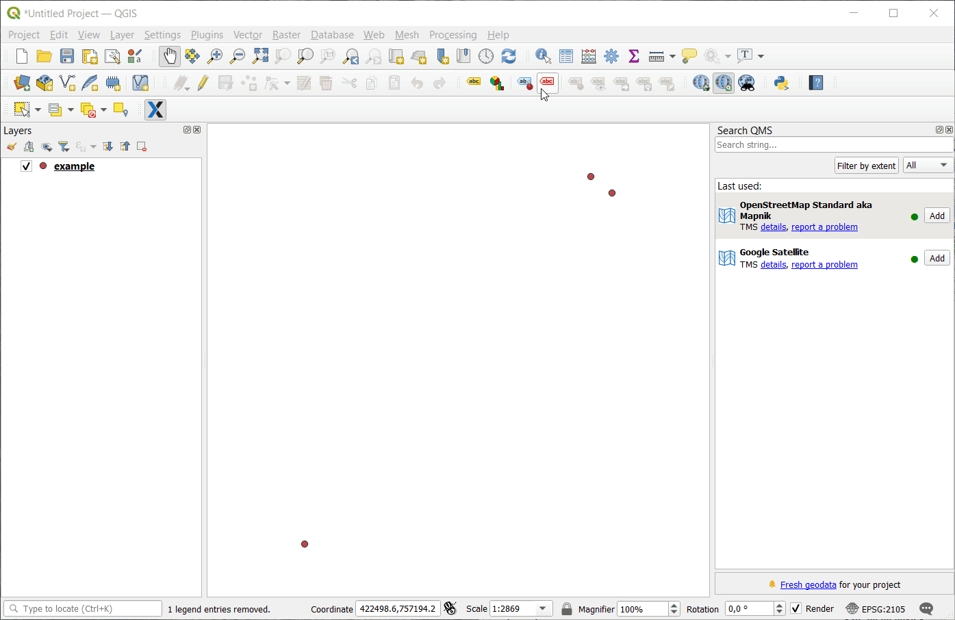