 matkoniecz
commented
6 years ago
matkoniecz
commented
6 years ago all streets (maybe limit to some bigger street types)
So which highway=* values? For example asking that would be absurd for highway=motorway.
Note that you need to exclude roads with nearby amenity=parking areas, some tag these kind of parkings as an areas.
 rugk
rugk westnordost
 HolgerJeromin
 axre
axre pietervdvn

 naposm
 andrewharvey
 jakecoppinger
 mnalis


 BalooUriza
 1ec5
1ec5 fabzgy
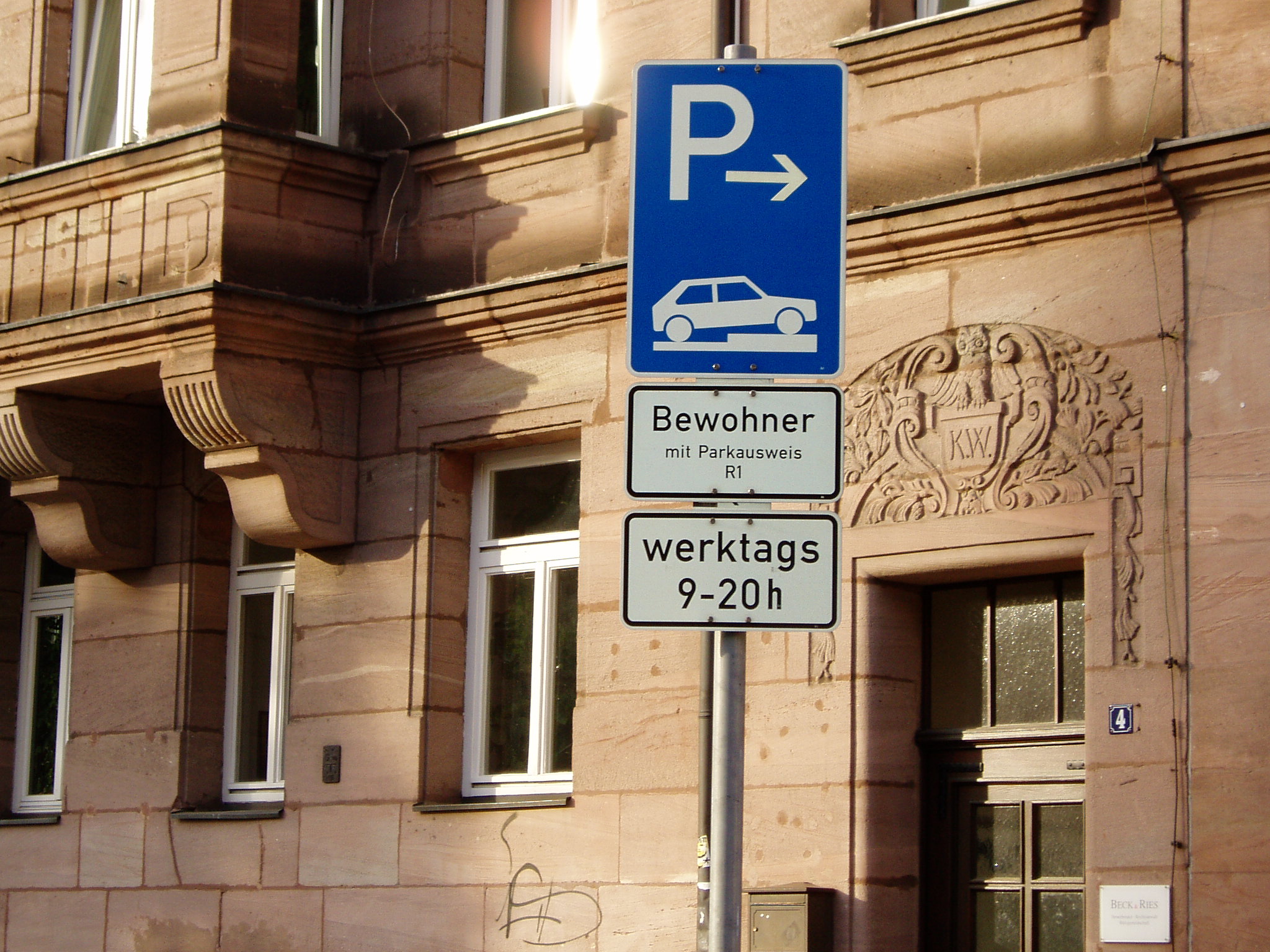
General
Affected key(s) (or tags) to be modified: parking:lane Question asked: Are there an parking lanes at the side of the street?
The quest is quite similar to the cycleway quest (https://github.com/westnordost/StreetComplete/issues/139).
Checklist
Checklist for quest suggestions (see guidelines):
Ideas for implementation
Element selection: all streets (maybe limit to some bigger street types), where parking is not tagged as disallowed and
parking:lanenot setMetadata needed: possibly, likely at least for street signs
Proposed GUI: very similar to the Cycleways quest, with basic options (parallel, perpendicular, …)
Also
no_parkingandno_stoppingshould also be in there, and be represented by the street signs.