 bart-v
commented
11 months ago
bart-v
commented
11 months ago This naming syntax is more or less what ASFA did, 20 years ago: http://marbef.org/data/images/ASFAmap-Large.jpg I still get cold shivers from that :)
It was found very unpleasant to work with since you can't figure out the meaning without being into this. Do we need "logical" codes after all? We could just use an MRGID, https://marineregions.org/mrgid.php
 SergeGofas
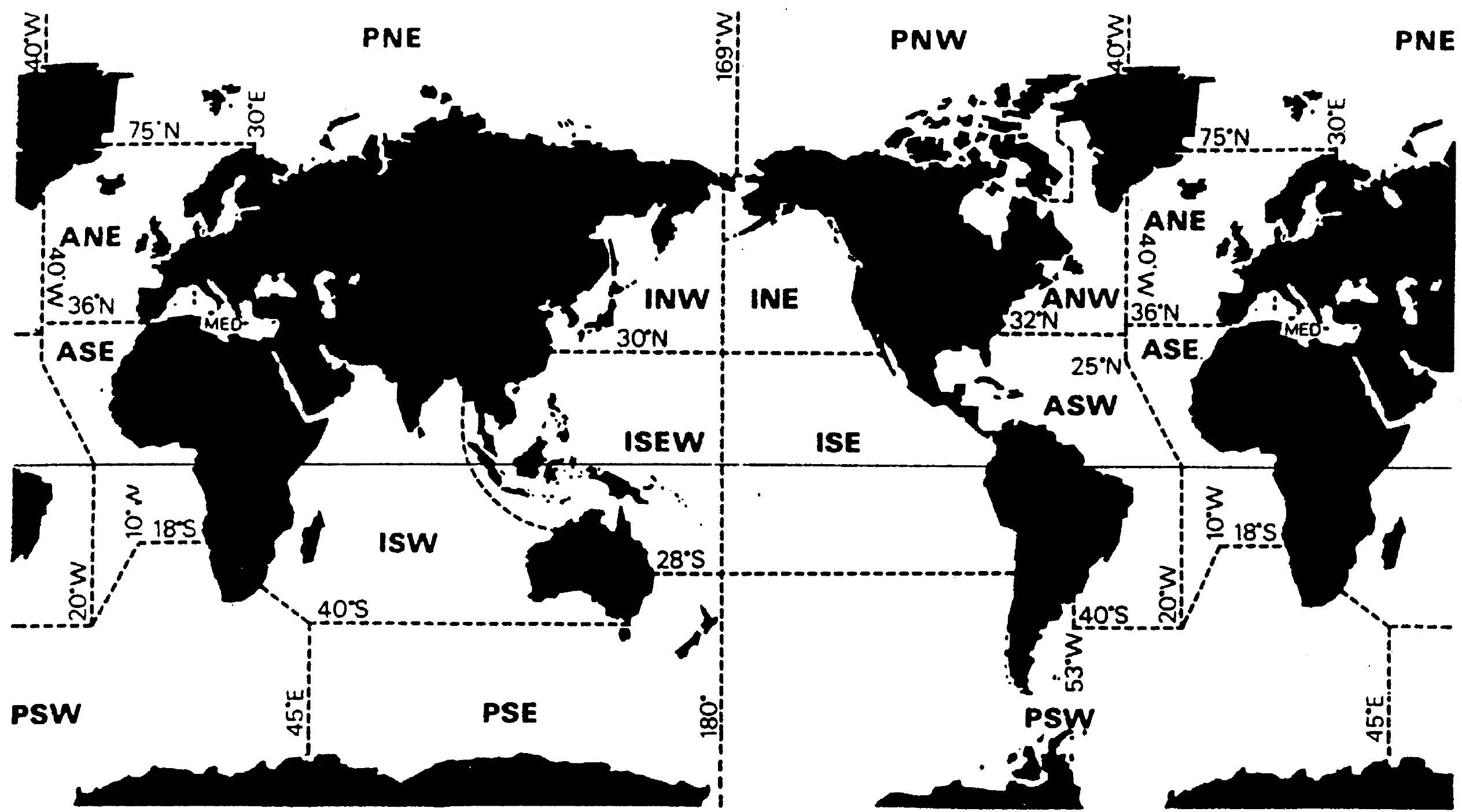
Currently there are 3-letter codes for the terrestrial "World Geographic Scheme for Recording Plant Distributions" which do not encompass the marine jurisdictional waters. These level-3 codes may correspond to groups of countries (e.g. LEE, Leeward Islands), countries (e.g. BGM, Belgium) or parts of countries (e.g. BAL, Baleares). Level 1 codes are currently 1-digit but adding five Level-1 oceans would bring the number to 13, thereby overlapping with the codes of Level 2 units which are two-digit and start at 10 Similar codes are to be created for the marine part, without altering the established codes for the terrestrial part.
The topic was briefly discussed by the means of an online meeting attending Francisco Pando and Gloria Martínez (GBIF Spain, on behalf of the terrestrial Geoschemes interest group) and Serge Gofas (University of Málaga, Spain, on behalf of the marine Geoschemes interest group) . We settled on the following guidelines: Level 1 marine units would be denoted by a single letter (A: Atlantic, I: Indian Ocean, P: Pacific, R: Arctic, N: Antarctic) Level 2 marine units would be denoted by one digit appended to that letter (A1, A2, ...) Level 3 units which correspond to a single country could use the 2 letter ISO codes of the countries supplemented with the letter "X" (not "M" which is used in many Level-3 terrestrial codes whereas X is used only in CHX, Xinjiang, PHX. Phoenix Is. and TEX, Texas which do not interfere with the marine codes). The issue of countries which encompass more than one marine Level-3 unit (e.g. Spain, France, the United States, Canada) is still to be investigated. Comments welcome