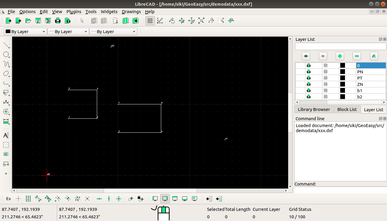
May still be better to use SVG (cad4tcl)? Or gnuplot? Or PDF(reportlab)? Can also use PostScript?
Closed zsiki closed 11 months ago

May still be better to use SVG (cad4tcl)? Or gnuplot? Or PDF(reportlab)? Can also use PostScript?
Wrong idea, the result is usually edited by surveyors and planners.
@zsiki say> the result is usually edited by surveyors and planners.
But not LibreCAD! (AutoCAD or NanoCAD or DraftSight or BricsCAD).
LibreCAD and QCAD are not usable, SVG is better then.
DXF is a common format for many CAD programs, among others: LibreCAD, AutoCAD, BricsCAD, ...). SVG is good to insert graphics in an HTML page or a documentation, that was the idea when I started this issue.
(LibreCAD || QCAD) != (AutoCAD || NanoCAD || DraftSight || BricsCAD).
(DXF r12) != (DXF 2004)I gave it up.
Using cad4tcl SVG files can be displayed and PDF export is also available. Let's test it for use in GeoEasy.