Hi Linyuan Li,
thank you for sharing the script!
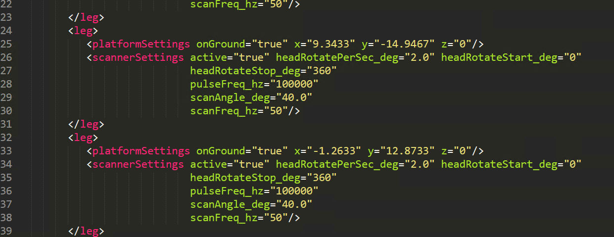
From your visualization and screenshot of scanner settings it seems indeed strange that the positions are located somewhere in the air. The expected behaviour would be that the tripod is on the ground (onGround="true") and anyways you have the z coordinate at 0 on the groundplane. The other case would occur if onGround="false" and z!=0, like I tested here:
 Currently, I cannot reproduce your observation. If your settings in all legs are correct as I describe, maybe you can provide the survey- and scene-xml (together with the sceneparts), and I could look into it.
 We will keep this issue open, as this needs fixing in the code. As an immediate solution for your analysis, I suggest to keep "onGround" false and specify the height explicitly from your terrain data. If you are using the groundplane of course it is easy and simply "0". I attached the xml files that I used for testing.
I hope this helps for your work with HELIOS!
(will look at the other issue in a bit ;-))
Greetings
Katharina
Hi, I come again. In this post, I'd like to provide several MATLAB scripts for automatically generating various forest scenarios. These scripts were motivated by my need of TLS simulations for many forest plots. Generally, we need a forest plot with many different trees (look like more realistic). Hence, we can modify the scale, position and rotation of tree models. The function of these scripts is to do so.
Download it!
But, there might be a bug I need to report. Not worry. Not a bug of matlab script, it's about HELIOS. I make sure that the generated XML file of tls survey is correct after inspection. However, when I run the HELIOS, some of tls scans were located at the top of forest canopy. Really strange. Could someone tell me why this happened?
Linyuan Li