


![]()
regionalizer 


regionalizer /ˈriːdʒ(ə)n(ə)lʌɪzə/ - the one who regionalizes.
to regionalize /ˈriːdʒ(ə)n(ə)lʌɪz/ - to divide into regions, especially for administrative purposes. based on thefreedictionary
How to choose the best capital of a state and regions?
- Overview
- How to build?
- How to contribute?
- How to generate doxygen documentation?
- Creating database using city_update_tool
- Algorithms
- Clang format
- Coding style
- Project wiki
- Special thanks to
This version of readme is outdated. Please, stay tuned for a upgraded version
Overview


How could we know what is the best city to locate the headquaters of our company?
- Should we locate it in the biggest city?
- ..or in the centre of the state? (so the distance to the farthest city would be as small as possible?) The first option is quite all right, but so boring. I guess the primary objective is to make everyone happy Let's think about happiness for a second.
There is neither happiness nor misery in the world; there is only the comparison of one state with another, nothing more.
This line from The Count of Monte Cristo ending gave us a clue about happiness. Every City wants to be the capital. Only then the happiness would be max. The worst case for a specific city would occur when the capital is in the middle of nowhere. Only then the happiness would be min. When the capital is somewhere in between, the happiness would be somewhere in between as well.
Here is an example:
- Hey, Szczecin tell me where the capital of Poland should be.
- Near Szczecin, of course!
- Yeah..., but the capital should be in the center of the state, don't you think?
- well..., I agree, but I do not want the capital to be Rzeszow It would be too far!
When we have a capital canditate, let's find out what other cities think about it.
- Each city has an information about
the farthestcity. - Let's calculate the distance between
a capital canditateand A <-- first city of the vector(a.k.a. state, a.k.a. country) - calculate
HIwhich isHappiness Index= 10 * (calculated distance between A andthe candidate/ distance to the farthest city) - calculate
HLwhich isHappiness Level=HI * population of A - Do it with every single city in the vector and the sum of
HLof every single city is the value. It is like votes. Candidate with the greatest value ofHLwould be elected as the new capital.
With that being said the algorithm is quite obvious:
Assign the distance of the farthest city from every single one of city.Check what would be the happiness level of the whole population when the capital is "the specific" city.Check every possible city~~
The objectives of the project
- [x]
Choose the best city for capital (or for the location of headquaters) - [ ]
Choose the best cities for capitals of the regions. (Numer of regions will be passed as argvs) - [ ]
Chosse the optimal number of regions. (Every city wants to be the capital, but there is no sense...)
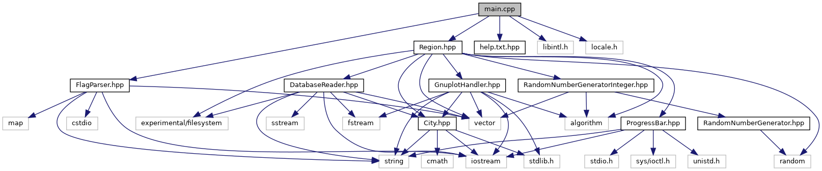
How to build?
mkdir build
cd build
cmake ..
make
make test
./regionalizer --list ../database/cities_data
How to contribute?
Please, have a look here
How to generate doxygen documentation?
doxygen doxygenConfigurationFile...then please find index.html in html directory.
Creating database using city_update_tool
Run in java eclipse: file city_update tool to get text file cities_data_pre_parsed with cites name, area(km^2) and population
Now run in java eclipse: file city_update tool2 to get full city database text file cities_data containg data from cities_data_pre_parsed with additional cities longitude and latitude and remove polish letters from city's names. There are no cardinal directions like "E". The coordinates minutes are in form of decimal part of the degrees with a precision set to 4 digits after the comma.
Remember about the order of runing city_update_tool first. Otherwise you will get wrong results!!
Database final order is as following: City name|Area|Population|Latitude|Longitude
Algorithms
TBD
Clang format
As it is important for us to keep common rules of clean code for the repository we introduce the clang-format. It uses file .clang-format. In order to run it you have to download the tool with the instructions provided by us on our wiki page: https://github.com/JaroslawWiosna/regionalizer/wiki/Clang .
The rule is that you have to run it before each commit you make to the repository so we could keep consistency. In order to run it you have to be one folder up(over) the repository file and you have to run exacly the following command in the console:
find regionalizer -iname *.hpp -o -iname *.cpp | xargs clang-format -i -style=fileCoding style
In our repository we use style defined by LLVM modified by additional flags that can be seen in: https://github.com/JaroslawWiosna/regionalizer/blob/master/.clang-format. They flags are further discussed in here: http://clang.llvm.org/docs/ClangFormatStyleOptions.html. Because we use that file each contributor resposibility in case of clean code is only using clang-format as it is described above. You can find more about LLVM on the following page: http://llvm.org/docs/CodingStandards.html.
Project wiki
We encourage you to visit our project wiki Page where you can find all knowledge base about our project, methods and alghoritms we use, project meetings and more. Here is the link to our wiki: https://github.com/JaroslawWiosna/regionalizer/wiki.
Special thanks to
https://gronlier.fr/blog/2015/01/adding-code-coverage-to-your-c-project/