New in FragScape 2.0 :
- Raster mode
- Algorithm to compare 2 results layers
Overview
FragScape is a QGIS 3 plugin.
Its purpose is to compute landscape fragmentation metrics defined by Jaeger (Jaeger 2000). Among these metrics, effective mesh size has been widely used to quantify landscape fragmentation.
FragScape defines a 4 steps process from raw data to computed metrics and allow user to save configuration so that results can be reproduced with same context.
It has been developped by Mathieu Chailloux at INRAE, for the French ecological network resource center (driven by French ministry of ecology).
Installation
FragScape requires QGIS 3. Go to plugins menu, install/manage plugins, activate experimental plugins and FragScape should be available. Install it and a grid icon should appear. Otherwise, it is available in plugins menu.
Documentation
Available documentation:
Example
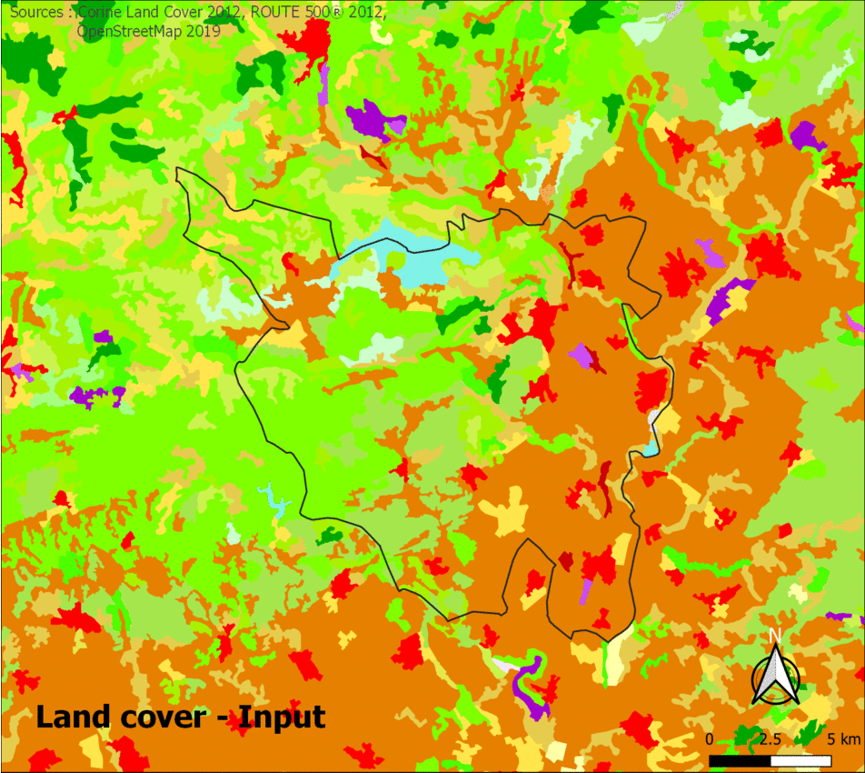
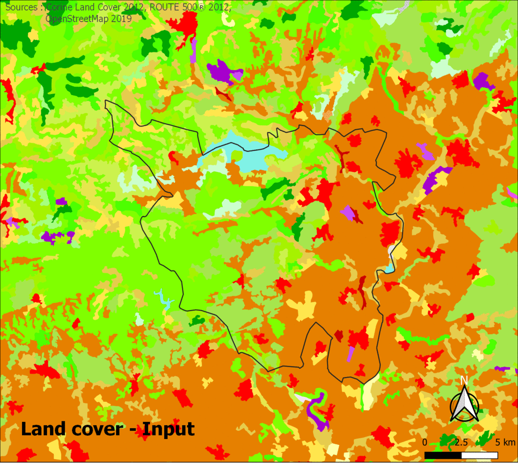
Sample data is provided with plugin here
Results with CUT method :
Results with Cross-Boundary Connection method :
To reproduce above results, see "Example" section of User Guide.
Steps
FragScape is a 4 steps plugin :
- Parameters setting
- Land cover elements selection and preprocessing
- Additional data selection and preprocessing
- Metrics computation
Each step is detailed in plugin help panel.
Contact
Mathieu Chailloux (INRAE/UMR TETIS)- mathieu.chailloux@inrae.fr
Jennifer Amsallem(INRAE/UMR TETIS) - jennifer.amsallem@inrae.fr
Jean-Pierre Chéry (AgroParisTech/UMR TETIS) - jean-pierre.chery@teledection.fr
Quotation
Chailloux, M. & Chéry, J.P. & Amsallem, J. (2019) FragScape : a QGIS plugin to quantify landscape fragmentation