GB Elevation QGIS Plugin

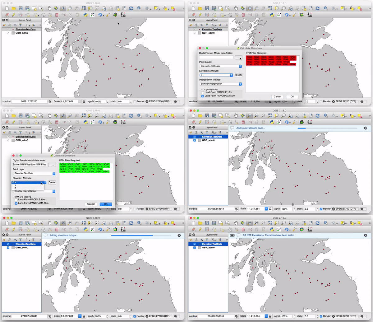
Calculate the elevation of point objects within Great Britain in QGIS using the historical and now withdrawn Ordnance Survey Land-Form Panorama and Profile 10m and 50m NTF DTM files.

Calculate the elevation of point objects within Great Britain in QGIS using the historical and now withdrawn Ordnance Survey Land-Form Panorama and Profile 10m and 50m NTF DTM files.