3D river basin maps
This repo demonstrates how to create stunning 3D maps of river basins using rayshader in R. We'll use HydroSHEDS data, which is a high-resolution global dataset of hydrographic features, such as river networks, watersheds, and drainage basins. You will focus on the river basins of Poland, a country in Central Europe with diverse landscapes and hydrology.
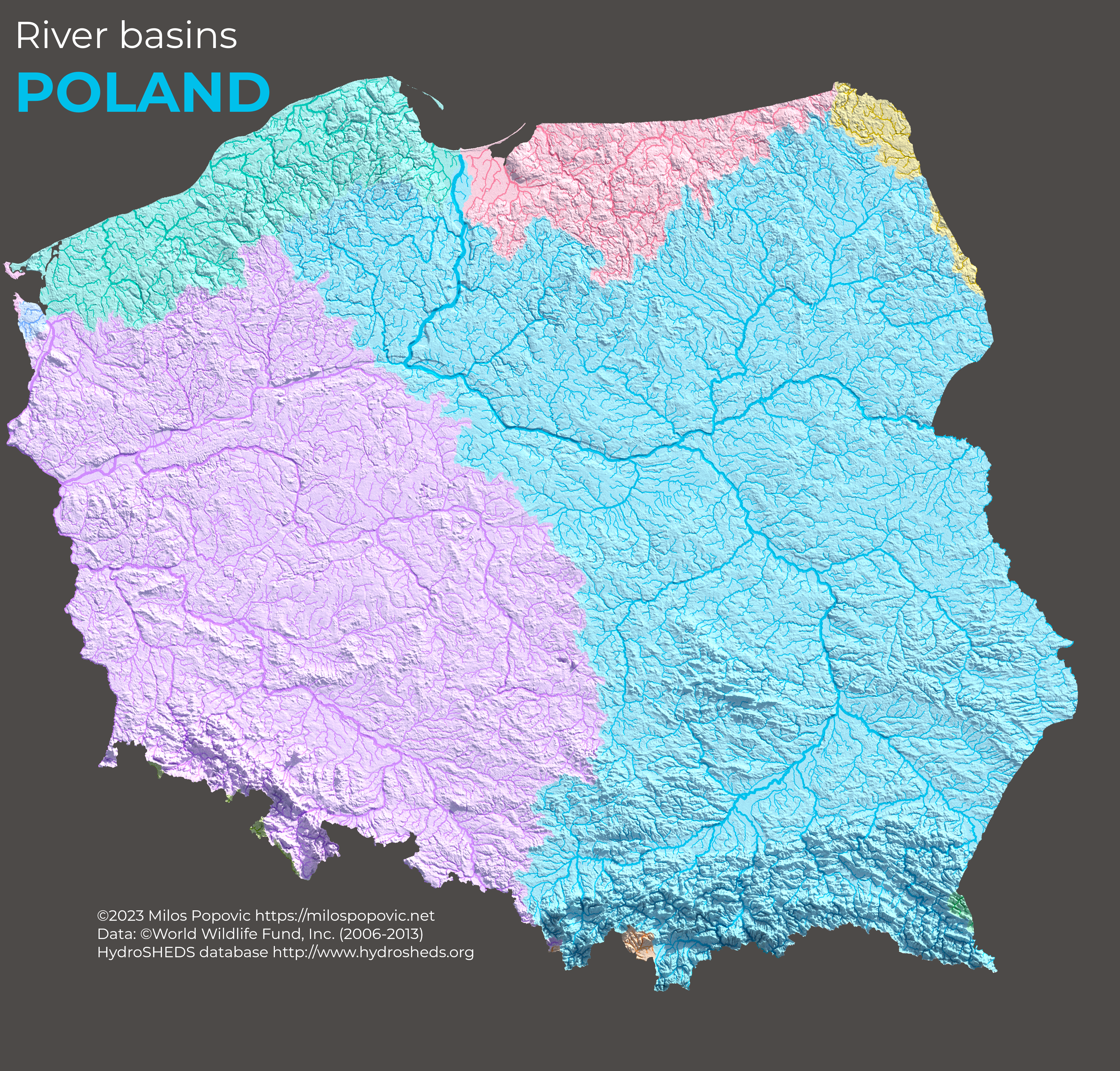
By the end of this tutorial, you will have a 3D map of river basins in Poland that looks like this: